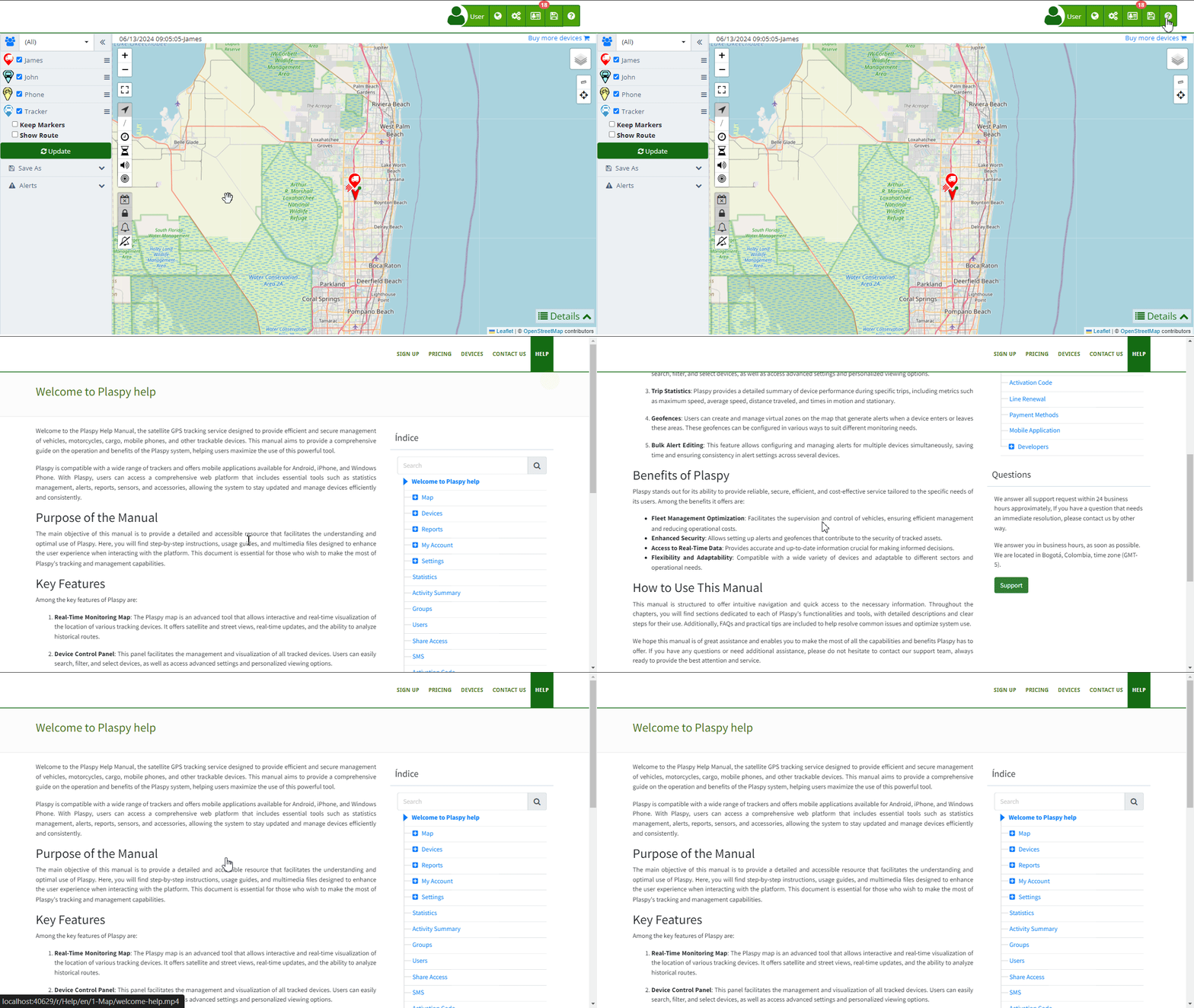
Welcome to the Secure GPS Help Manual, the satellite GPS tracking service designed to provide efficient and secure management of vehicles, motorcycles, cargo, mobile phones, and other trackable devices. This manual aims to provide a comprehensive guide on the operation and benefits of the Secure GPS system, helping users maximize the use of this powerful tool.
Secure GPS is compatible with a wide range of trackers and offers mobile applications available for Android, iPhone, and Windows Phone. With Secure GPS, users can access a comprehensive web platform that includes essential tools such as statistics management, alerts, reports, sensors, and accessories, allowing the system to stay updated and manage devices efficiently and consistently.
Purpose of the Manual
The main objective of this manual is to provide a detailed and accessible resource that facilitates the understanding and optimal use of Secure GPS. Here, you will find step-by-step instructions, usage guides, and multimedia files designed to enhance the user experience when interacting with the platform. This document is essential for those who wish to make the most of Secure GPS's tracking and management capabilities.
Key Features
Among the key features of Secure GPS are:
-
Real-Time Monitoring Map: The Secure GPS map is an advanced tool that allows interactive and real-time visualization of the location of various tracking devices. It offers satellite and street views, real-time updates, and the ability to analyze historical routes.
-
Device Control Panel: This panel facilitates the management and visualization of all tracked devices. Users can easily search, filter, and select devices, as well as access advanced settings and personalized viewing options.
-
Trip Statistics: Secure GPS provides a detailed summary of device performance during specific trips, including metrics such as maximum speed, average speed, distance traveled, and times in motion and stationary.
-
Geofences: Users can create and manage virtual zones on the map that generate alerts when a device enters or leaves these areas. These geofences can be configured in various ways to suit different monitoring needs.
-
Bulk Alert Editing: This feature allows configuring and managing alerts for multiple devices simultaneously, saving time and ensuring consistency in alert settings across several devices.
Benefits of Secure GPS
Secure GPS stands out for its ability to provide reliable, secure, efficient, and cost-effective service tailored to the specific needs of its users. Among the benefits it offers are:
- Fleet Management Optimization: Facilitates the supervision and control of vehicles, ensuring efficient management and reducing operational costs.
- Enhanced Security: Allows setting up alerts and geofences that contribute to the security of tracked assets.
- Access to Real-Time Data: Provides accurate and up-to-date information crucial for making informed decisions.
- Flexibility and Adaptability: Compatible with a wide variety of devices and adaptable to different sectors and operational needs.
How to Use This Manual
This manual is structured to offer intuitive navigation and quick access to the necessary information. Throughout the chapters, you will find sections dedicated to each of Secure GPS's functionalities and tools, with detailed descriptions and clear steps for their use. Additionally, FAQs and practical tips are included to help resolve common issues and optimize system use.
We hope this manual is of great assistance and enables you to make the most of all the capabilities and benefits Secure GPS has to offer. If you have any questions or need additional assistance, please do not hesitate to contact our support team, always ready to provide the best attention and service.

- Welcome to Secure GPS help
- Map
- Viewing a Device's Route History
- Device Control Panel
- Detailed Device Information
- Buttons on the Map
- Details
- Trip Statistics
- Device Menu
- GeoFences
- Bulk Alert Editing
- Enable map notifications
- Mileage Calculation
- Atributes
- Devices
- Marker Icon
- Information
- Sensors
- Reassign Digital Sensors
- Commands
- Alerts
- Types
- Configuration
- Reminders
- Limits
- History
- Setting Up a New Tracker
- Solution for Identifier Already in Use by Another Account
- Device Issues
- Email alerts sending limits
- Reports
- New Report
- My Account
- Password Change
- Email Notifications
- Telegram Accounts
- Update Mobile Phone Number
- Primary Email
- Alternative Email
- Activate Two-Factor Authentication (2FA)
- Access Log
- Password Recovery
- Recover Username
- Delete Your Account
- Statistics
- Activity Summary
- Groups
- Users
- Share Access
- Developers
- Enable the API
- Rest API
- Authentication
- Devices API
- GET /api/devices
- GET /api/devices/{deviceId}
- GET /api/devices/{deviceId}/lastLocation
- POST /api/devices/{deviceId}/locations
- POST /api/devices/{deviceId}/alerts
- Groups API
- GET /api/groups
- POST /api/groups
- GET /api/groups/{groupId}
- PUT /api/groups/{groupId}
- PATCH /api/groups/{groupId}
- DELETE /api/groups/{groupId}
- Users API
- GET /api/users
- POST /api/users
- GET /api/users/countries
- GET /api/users/timeZones
- GET /api/users/{userId}
- PUT /api/users/{userId}
- PATCH /api/users/{userId}
- DELETE /api/users/{userId}